| Total Order Value ( ex VATinc VAT ) | Delivery Cost ( ex VATinc VAT ) |
|---|---|
| Over £50£60 | FREE |
| Under £50£60 | £4.95£5.94* |
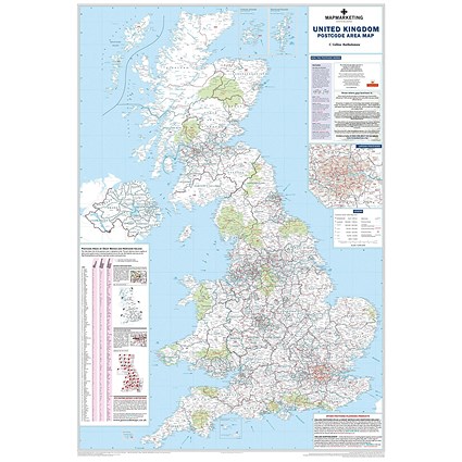
Our delivery service covers the entire UK. This includes Northern Ireland, Guernsey, Jersey, Isle of Man and all Scottish Highlands and Islands. We don’t deliver outside the UK - yet!
* With large items like furniture, notice boards and safes sometimes we have to charge more for delivery but only when delivering in hard to reach areas - this is due to increased courier costs.
