


![Nobo T-Cards 160gsm Tab Top 15mm W92x Bottom W80x Full H120mm Size 3 White Ref 2003002 [Pack 100]](/images/200/NB38911.jpg?v=yjkVoGYtgE8 "Nobo T-Cards 160gsm Tab Top 15mm W92x Bottom W80x Full H120mm Size 3 White Ref 2003002 [Pack 100]")


A Guide to Personal Planning
At the centre of a successful business is the effective organisation of time, space and ideas. At Paperstone we've got all the charts, planners, maps, diaries and personal organisers to ensure that the logistics of personal planning actually become a pleasure.
We've got a wide variety of planning products to keep on your person or in the office:
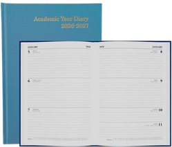
- Diaries – to help you stay on top of your everyday activities. They come into stock around the month of July every year and often sell out by February the following year - so get them whilst you can!
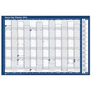
- Wall Year Planners – wall planners that you can continually update according to the exigencies of current business needs and priorities.
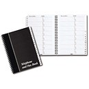
- Address Books – keep track of all your business contacts.
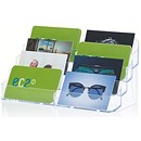
- Business Card Holders – to store and display your business card collection.
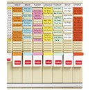
- T-Card panels – attractive, professional, adaptable planners which employ a 'T-Card' system.
- Whether it's for keeping yourself organised, planning a strategy, keeping your workforce focused Paperstone supplies the appropriate tools.
Click on a product category above to get a list of planning products.
Don't forget
If you are stuck, need a bit more info or advice, would rather order over the phone, or simply need some human reassurance, give us a call on 0345 567 4000. We will be happy to hear from you and will offer all the assistance we can.