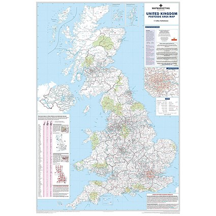
Map Marketing Postcode Areas Map Unframed 12.5 Miles to 1 inch Scale W830xH1200mm

£19.99VAT free
Sadly this product is no longer available, please choose a replacement from one of the Alternative Products.
Price Match Guarantee
0345 567 4000
Give our sales team a call and we'll happily price match.

Map Marketing Postcode Areas Map Unframed 12.5 Miles to 1 inch Scale W830xH1200mm

Paperstone code: MM90301
Laminated map of UK postcode areas, counties and unitary authorities
Shows postcode area boundaries and corresponding letters
Shows roads, motorways and settlements from 2,000 to 1 million plus
Includes London inset and handy postcode locator
Measures 1200x830mm, scale 1:800,000
2011 edition: includes 2009 administrative changes
Sadly this product is no longer available, please choose a replacement from one of the Alternative Products.
This map shows the clear boundaries of every postcode area, plus their corresponding letters, and includes a handy index to rapidly find any postcode area on the map by letter. It also provides information on the structure of a postcode for reference. It also provides boundaries for counties and unitary authorities, correct as of the most recent adjustments from 2009.
Product Specifications
General
Brand Map Marketing
Manufacturer Number BIPA
Type Maps
Details
Colour Multicoloured
Shipping Weight 0.57 kg